Northeast Ohio Weather: Election Day Brings Highs Near 75 Before Midweek Rain
Temperatures are running 10 to 20 degrees above normal as the month starts, with a major pattern shift bringing heavier precipitation by Wednesday.
By Hiroshi Ferrari ·
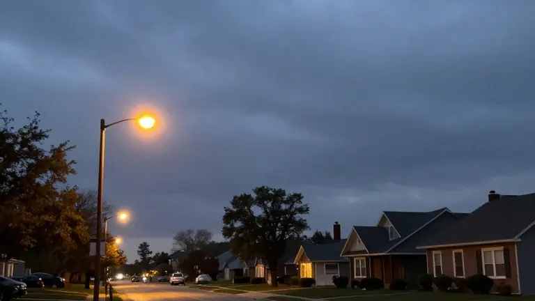
November starts in Northeast Ohio with heat that defies the calendar.
Meteorologists at News 5 Cleveland report that temperatures are currently 10 to nearly 20 degrees above the seasonal average. Monday sees highs in the mid to upper 60s, with some locations reaching the lower 70s. Skies remain mostly cloudy, and while isolated showers are possible, most areas should stay dry. The West Region, which includes Lorain, Medina, and Richland counties, will see mild evening temperatures in the lower 50s before dropping to the upper 40s by dawn.
Tuesday, which coincides with Election Day, offers the warmest and driest conditions of the week. Highs are forecast to reach 75 degrees under mostly cloudy skies. This warm spell is the final stretch before a significant change in weather patterns. A major shift begins Wednesday as rain moves into the region. The potential for heavy rain increases on this day, with highs moderating to 73 degrees.
The rain lingers into Thursday, though the intensity decreases to a few showers. Temperatures fall to 67 degrees as the system weakens. By Friday, the weather becomes more seasonable with isolated showers and a high of 59 degrees. Cooler air settles in for the upcoming weekend, bringing highs back to the mid to upper 50s. This marks the end of the unusually warm start to the month.
The forecast covers five distinct regions within the Cleveland media market. The Cleveland Metro Region, including Cuyahoga County, faces the same warm conditions. The Snowbelt Region, comprising Lake, Geauga, and Ashtabula counties, will also see these above-average temperatures. The Akron-Canton Region, which includes Summit, Stark, and Portage counties, expects similar highs. The South Region, covering Wayne, Holmes, Tuscarawas, and Carroll counties, will experience the same warm start before the midweek rain arrives.
The shift in weather patterns is driven by a large scale system moving through the area. This system replaces the current warm air mass with cooler, more typical November air. The transition occurs gradually over the course of the week. Residents can expect the warmth to last through Tuesday but should prepare for wetter and cooler conditions from Wednesday onward. The weather team monitors these regional variations to provide specific forecasts for each of the five zones.